
About This Trek
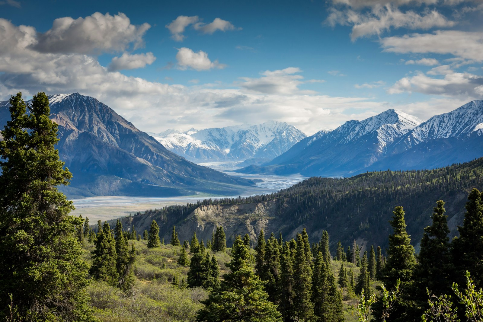
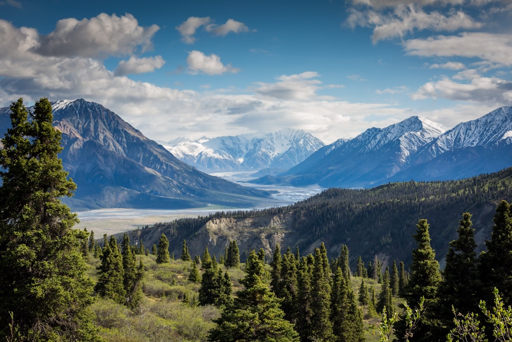
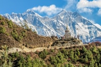
The Manaslu Circuit Trek is widely regarded as the Annapurna Circuit of a generation ago — wilder, more remote, and far less commercialized. Circumnavigating Mt. Manaslu (8,163m), the world's 8th highest mountain, this restricted-area trek rewards those who seek authentic Himalayan adventure beyond the beaten path.
The route crosses the dramatic Larkya La Pass (5,160m), passes through ancient Tibetan-influenced villages, traverses alongside massive glaciers, and offers unobstructed views of Manaslu, Himalchuli, Ganesh Himal, and dozens of other peaks above 6,000m.
Because it requires a special restricted-area permit and must be done with a registered guide, the trail sees a fraction of the traffic of other circuits — meaning you'll experience a raw, serene Himalayan environment largely untouched by mass tourism.
Detailed Itinerary
Day 1: Kathmandu to Arughat (570m)
Early morning drive via Prithvi Highway through Dhading district to Arughat Bazar — the gateway to the Manaslu Conservation Area. Approximately 7–8 hours by jeep.
Day 2: Arughat to Soti Khola (700m)
Begin trekking through subtropical lowlands along the Budhi Gandaki River. Cross several wooden bridges through lush forest filled with banana trees and rice paddies.
Day 3: Soti Khola to Machha Khola (930m)
Trek through bamboo forests and past small waterfalls. The trail follows the river through narrow gorges with dramatic rock walls. First glimpses of high peaks in the distance.
Day 4: Machha Khola to Jagat (1,410m)
Enter the Manaslu Restricted Conservation Area. Pass through beautiful riverside forest and traditional stone villages. Jagat is the checkpoint village for restricted area permits.
Day 5: Jagat to Deng (1,860m)
The landscape transitions dramatically as the valley narrows into a deep gorge. Trek past waterfalls and through dense subtropical forests. First encounters with Tibetan-influenced culture.
Day 6: Deng to Namrung (2,630m)
The landscape opens up into alpine terrain. Pass through the village of Ghap with its ancient Tibetan-Buddhist chortens and mani walls. First clear views of Manaslu.
Day 7: Namrung to Samagaon (3,530m)
Trek through high mountain meadows past the village of Lho with its spectacular monastery and the most dramatic close-up views of the Manaslu massif. Samagaon is a fascinating Tibetan village.
Day 8: Samagaon Acclimatization Day
Essential rest day. Hike to Birendra Lake (4,450m) beneath the Manaslu glacier for stunning views, or visit the ancient Pungyen Gompa monastery for insight into this remote Tibetan community.
Day 9: Samagaon to Samdo (3,860m)
Short but important acclimatization day. Trek to Samdo, a former trading post with Tibet visible just over the ridge. Explore this ancient village at the foot of massive peaks.
Day 10: Samdo to Dharamsala / Larkya Base Camp (4,460m)
Trek to the remote high camp below the Larkya La Pass. Only basic teahouse facilities available here. Early dinner and sleep to prepare for the long pass crossing day.
Day 11: Larkya La Pass (5,160m) to Bhimtang (3,720m)
The most challenging day of the trek. Depart at 3–4am to cross the magnificent Larkya La Pass at dawn. The panorama from the top — Manaslu, Himalchuli, Annapurna II, and dozens of glaciers — is one of the most spectacular in the Himalaya. Long descent to Bhimtang through alpine meadows.
Day 12: Bhimtang to Tilje (2,300m)
Steep descent through birch and rhododendron forests. The dramatic change in vegetation and temperature after the high pass is remarkable. Pass through Karte and Gho villages.
Day 13: Tilje to Dharapani (1,960m)
Final trekking day through lower alpine villages. Dharapani marks the confluence with the Annapurna Circuit trail. Some trekkers choose to extend here onto the Annapurna Circuit.
Day 14: Dharapani to Besisahar & Drive to Kathmandu
Drive from Dharapani back to Kathmandu via Besisahar. Approximately 7–8 hours through the Marsyangdi Valley.
Trek Highlights
What's Included
Best Time to Trek
🍂 Autumn (Sep – Nov)
Optimal season. Clear skies post-monsoon, stunning visibility, and stable weather. September sees some residual monsoon clouds; October–November is peak.
🌸 Spring (Mar – May)
Good weather with rhododendron blooms at lower elevations. The Larkya La may have some lingering snow, adding to the drama.
❄️ Winter (Dec – Feb)
The Larkya La Pass is frequently closed by snow in winter. Not recommended unless you have extensive mountaineering experience.
🌧 Monsoon (Jun – Aug)
Heavy rainfall, landslide risk, and poor visibility. The lower sections are very wet. Not recommended for most trekkers.
Important Notes
Mandatory Guide: A licensed Nepali guide is legally required for restricted area treks. Solo trekking without a guide is not permitted and permits will not be issued.
Minimum Group: The restricted area permit requires a minimum of 2 trekkers. We can arrange to pair solo trekkers with other groups.
Fitness Level: Strong physical fitness essential. Previous high-altitude trekking experience (above 4,000m) is strongly recommended before attempting Larkya La (5,160m).
Teahouse Facilities: Basic teahouse conditions — especially above Samagaon. Expect cold nights, squat toilets, and limited charging facilities in the higher villages. A positive, flexible attitude is key.
Travel Insurance: High-altitude trekking and emergency helicopter evacuation insurance is mandatory.